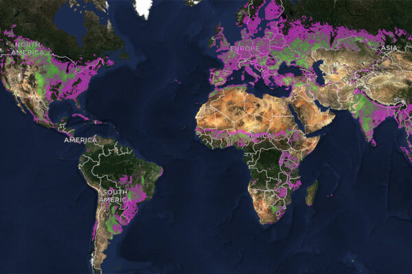
Nearly 350 million people worldwide are experiencing a severe food shortage due to global conflicts, climate change, and rising food and fuel costs, according to the World Food Program USA. A team of researchers is using geospatial initiatives to design new tools to address this challenge.
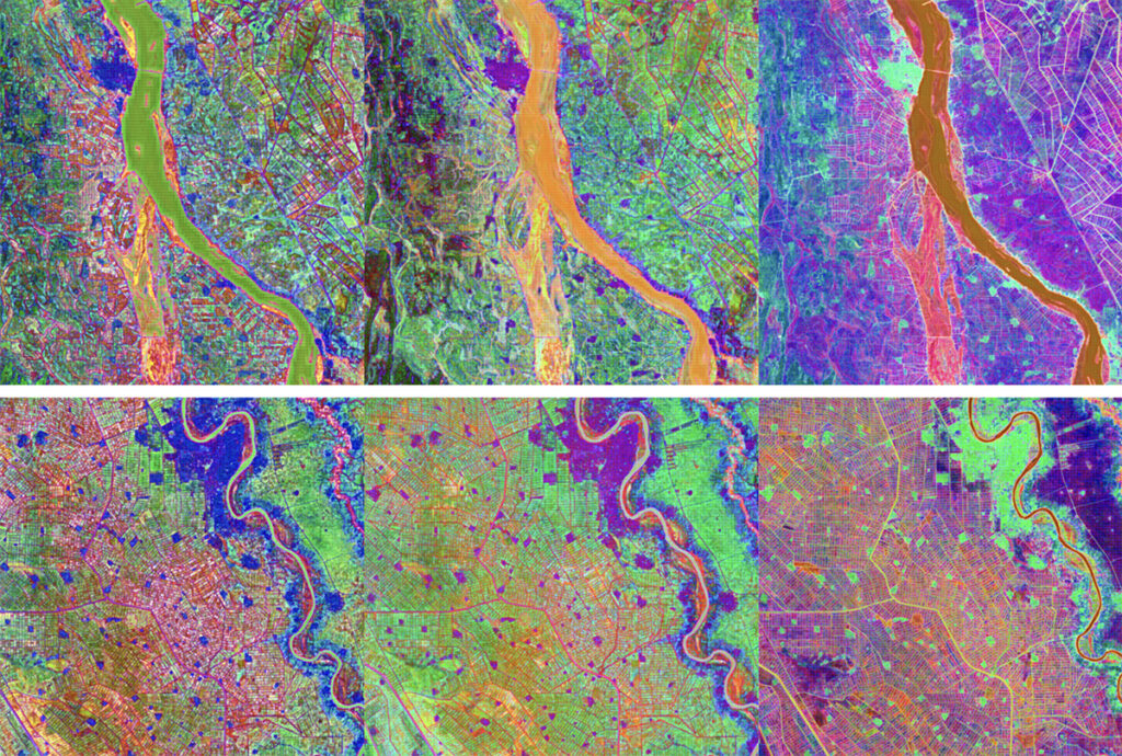
Nathan Jacobs, a professor of computer science and engineering at WashU McKelvey Engineering, and his collaborators plan to develop a geospatial artificial intelligence capability to find early signs of instability in crop production with an up to $550,000 grant from the Geospatial Innovation for Food Security Challenge, sponsored by Taylor Geospatial.
The challenge is designed to turn data into actionable intelligence for global food systems. Recipients also will participate in an 18-month program to move from proof-of-concept to operational deployment.
Read more on the McKelvey Engineering website.