Most people interact with maps regularly, for example, when they’re trying to get from point A to point B, track the weather or plan a trip. But beyond those daily activities, maps are also increasingly being combined with artificial intelligence to create powerful tools for urban modeling, navigation systems, natural hazard forecasting and response, climate change monitoring, virtual habitat modeling and other kinds of surveillance.
“Maps are a fundamental product in our life,” said Aayush Dhakal, a graduate student in the McKelvey School of Engineering at Washington University in St. Louis. “They allow us to learn patterns and see distributions across geospatial area.”
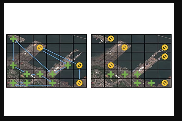
Dhakal and Srikumar Sastry, also a McKelvey Engineering graduate student, are working with Nathan Jacobs, a professor of computer science and engineering, to develop models that use satellite imagery to support these endeavors. Dhakal’s project, Sat2Cap, allows users to create maps from free-form textual descriptions. Sastry developed GeoSynth, a model for synthesizing satellite images based on a given textual prompt or geographic location.
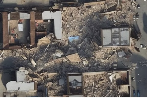
Dhakal and Sastry presented their work at this year’s June 17 EarthVision workshop in Seattle in conjunction with the Computer Vision and Pattern Recognition 2024 Conference. EarthVision aims to advance machine learning-based analysis of remote sensing data with particular attention to urgent challenges and applications, such as monitoring natural hazards, urban growth, deforestation and climate change.
Read more on the McKelvey Engineering website.